excavations
Since 1991 I have participated in more than one hundred excavation field projects and territorial surveys, with roles ranging from supervisor to director, and practical experience in sites dating from the Neolithic to the Middle Age (please see CV). Thanks to this practical experience I master the most common technical documentation tools (tacheometer, Total Station, GPS, digital photography, laser scanner) and software (Office packages, graphic and photogrammetry software, AutoCad, Blender, PAST, GIS, JOSM); field teaching and license managing. My experience allowed me to refine a multi-layered interdisciplinary approach for fieldwork, documentation and post-excavation study I find especially productive:
- Landscape archaeology (archival research, historical process, survey, aerial photo-interpretation, remote sensing, GIS, etc.).
- Site-level analysis (urbanism, morphology, geophysical analysis, laser scanner and photogrammetry, 3D reconstruction, archaeoastronomy, etc.).
- Context-level analysis (excavation technique, first-aid for finds, graphic and textual documentation, both traditional and digital, surface chemical analysis, sampling, etc.).
- Object-level analysis (stylistic analysis, typology, restoration and documentation, chemical and residual analysis, radiocarbon-date, use-wear analysis, statistics, etc.).
I promote and practice the use of modern approaches to archaeology, including statistics, scientific analyses, remote sensing, 3D scanning and modelling and digital manufacturing (3D printing and CNC), and the use of open data and open-source software. I have gained certificates in remote sensing and digital manufacturing education and published papers about these techniques and taught them to students.
The Etruscan Fortress of Rofalco
Study, Excavation and Outreach Project


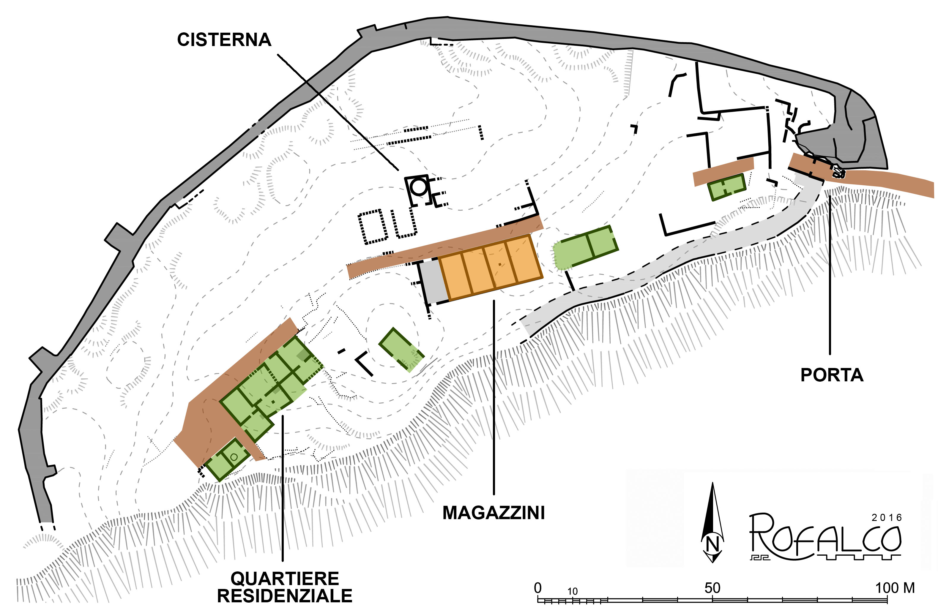
The International Excavation and Outreach Project of Rofalco (www.fastionline.org) was established in 1996; since 2008 I have been acting as project director, being specifically responsible for the management, the archaeological excavation, the dissemination and public engagement.
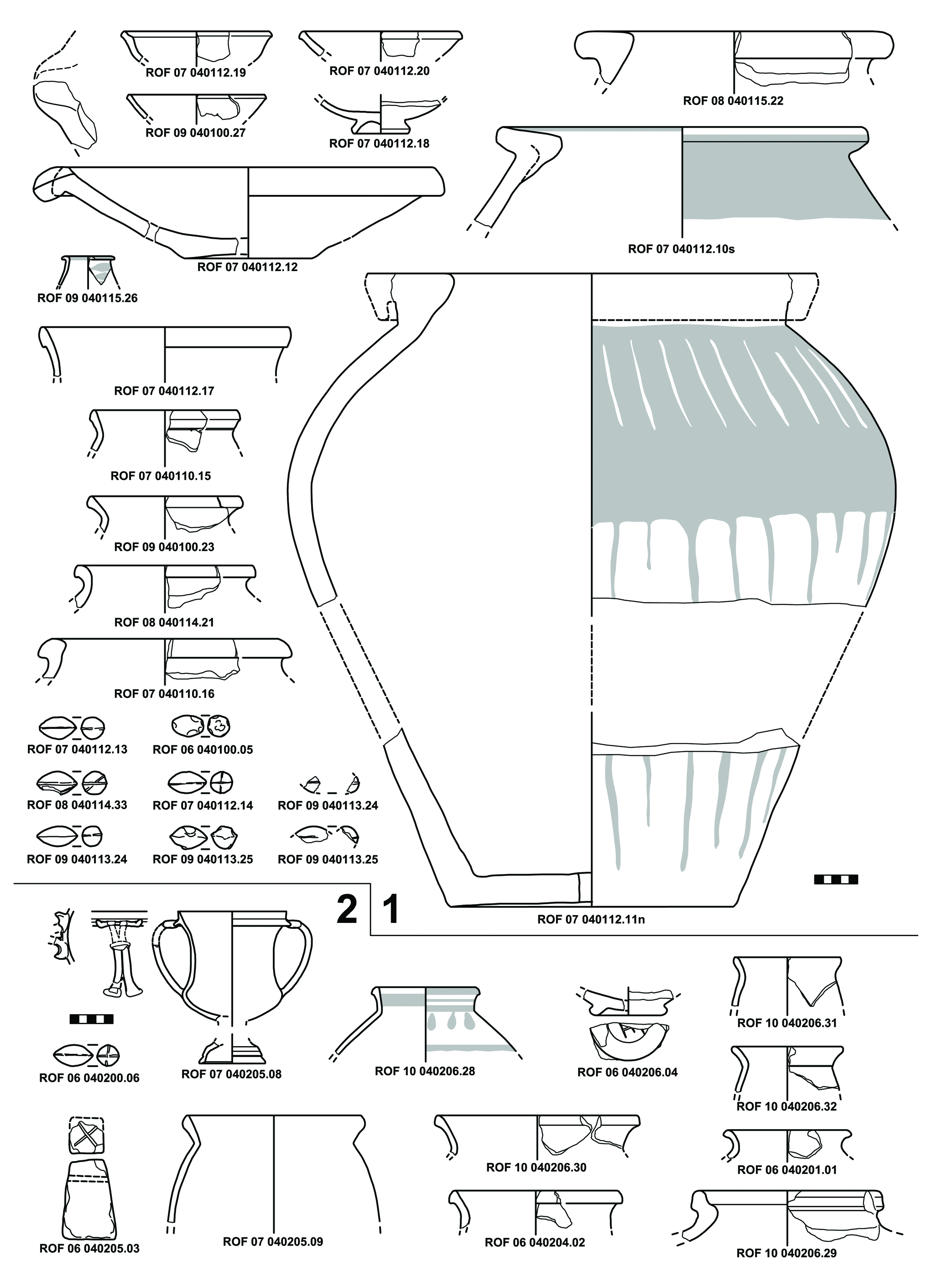
Rofalco is a fortified site, which settlement had lasted for only about seventy years, before it was conquered and destroyed by the Roman army around 280 BC; visible remains of daily life and of the battle, covered by layers of fire and collapses, were unearthed during the excavations. Other than the recovery, restoration and study of the artifacts, the project points to the documentation of local traditional architecture, compared to the ancient ones and in relation to environmental resources and exploitation. The Project hosts every summer about 40 students from Europe, US and Canada.

